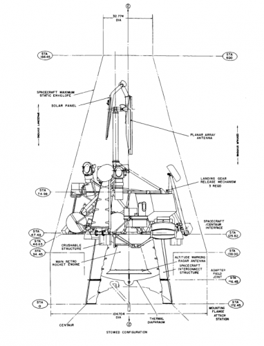
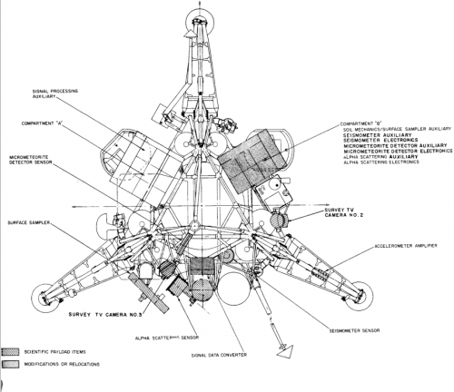
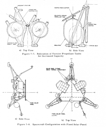
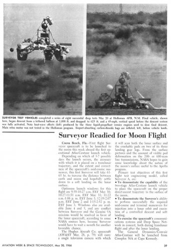
The lakes and the tantalizing variety of rocks at the Surveyor 7 site caused some lunar scientists to advocate sending an Apollo mission to Tycho. The crater was well outside the Apollo Zone, but it could be reached during a narrow seasonal launch window if certain Apollo mission planning rules were relaxed.
In August 1969, less than a month after Apollo 11, the first manned moon landing mission, U.S. Geological Survey (USGS) scientists worked with Bellcomm, NASA’s Apollo planning contractor, to plan the surface portion of an Apollo Tycho mission. The USGS/Bellcomm team’s mission would begin with a pinpoint LM landing a kilometer southeast of Surveyor 7. The LM’s descent stage would carry enough propellants so that, if the spacecraft descended off course (as had happened on Apollo 11), then the mission’s Commander could take control from the LM computer and pilot it up to half a kilometer toward the designated touchdown point.
On the basis of Surveyor 7 and Lunar Orbiter V images, the Bellcomm/NASA team judged that the Tycho site was too rough and rocky for a lunar rover. They proposed instead that the two Apollo astronauts explore on foot within a radius of operations of about 2.5 kilometers centered on their LM. Proposed new “constant volume” hard suits tougher and more flexible than the fabric Apollo suits would, they anticipated, make possible speedy geologic traverses in rugged terrain. The suits would enable the astronauts to operate on the surface for up to seven hours at a stretch. They would spend 54 hours at the Tycho landing site, or about twice as long as the Apollo 11 astronauts had spent on the Sea of Tranquillity, providing enough time for three seven-hour traverses.
During Traverse I, the USGS/Bellcomm team planned that one of the astronauts would deploy an Apollo Lunar Scientific Experiment Package (ALSEP) about 1.1 kilometers east of the LM. The ALSEP would include a passive seismometer. In addition to establishing a “far southern” station in the Apollo seismometer network, the instrument would exploit naturally occurring moonquakes and asteroid impacts to enable study of Tycho’s subsurface structure. The ALSEP might also include a heat flow experiment to help to determine if the area had experienced recent volcanism, a laser retroreflector, a magnetometer, and a gravimeter.
The other astronaut, meanwhile, would walk along the low ridge visible from Surveyor 7 and sample the boulders there. The two astronauts would then meet up and return to the vicinity of the LM, where they would sample nearby “flow dome material.” Traverse I would total 3.5 kilometers.
During Traverse II, the longest of the Tycho moonwalks, the astronauts would strike north to the “shore” of a prominent kilometer-wide dark lake containing branching trenches. They would examine and sample the lake and trenches, then walk to a point 2.6 kilometers from the LM to sample “darkish radial rim material.” On their way back to the LM, they would visit Surveyor 7 to collect samples of lunar materials it had examined and to salvage parts of the unmanned lander for engineering analysis. Traverse II would total 6.25 kilometers.
The final traverse of the Apollo Tycho mission would see the astronauts walk south 1.3 kilometers to sample another dark lake, then travel another 1.4 kilometers to sample subsurface material exposed by a small fresh impact crater. They would then hike half a kilometer to a raised “flow levee” surrounded by “late smooth flow materials.” Traverse III would total 5.25 kilometers. In all, the astronauts would walk 15 kilometers and collect between 100 and 200 pounds of samples during their three moonwalks.


