OMG i'm in Heaven
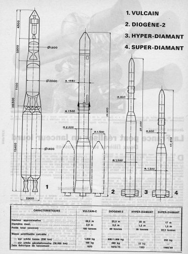
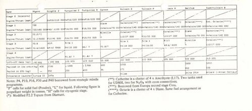
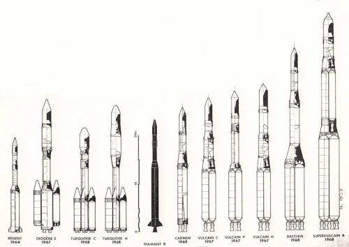
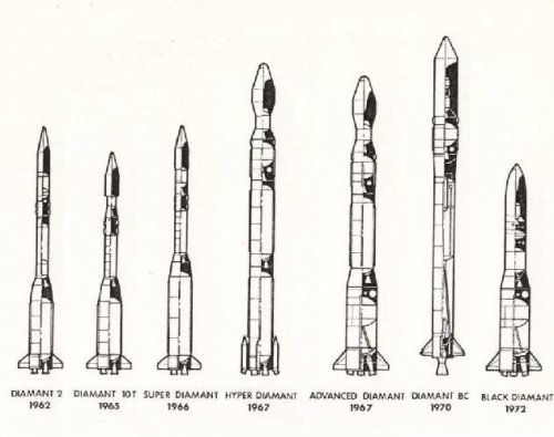
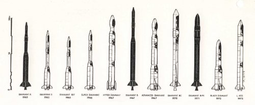
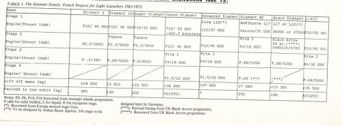
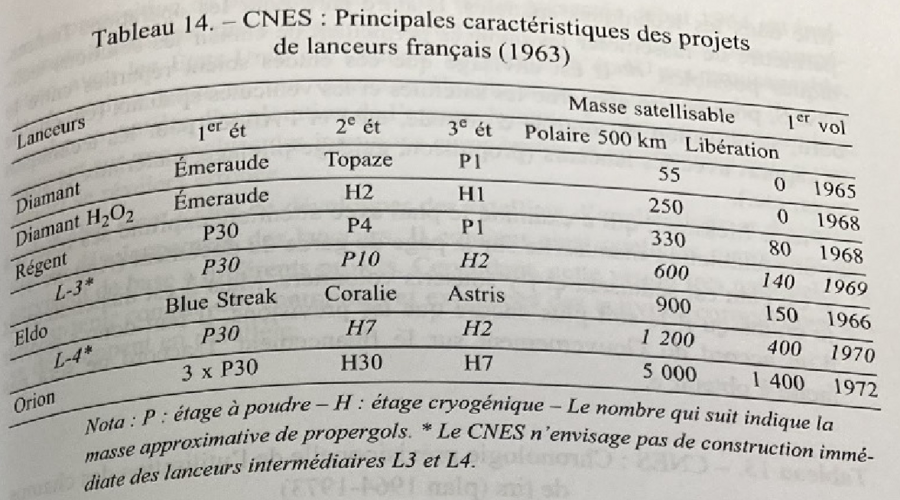
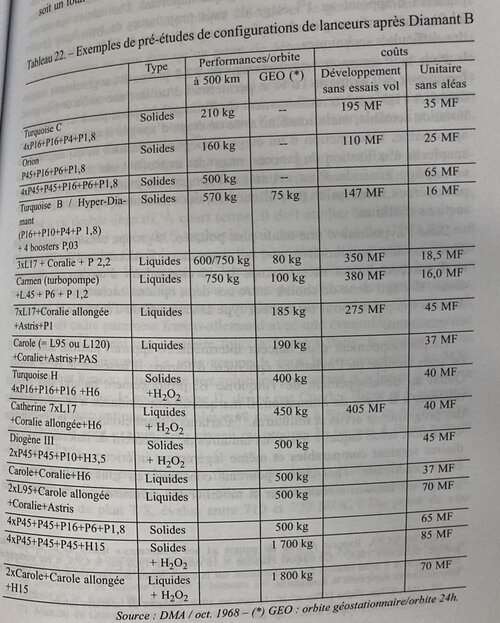
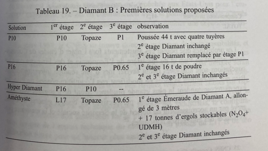
Some note the seven L-17 with Coralie and Astris and P1
was consider as replacement for ELDO1 (Europa 1)
As the British got funny in there heads and rehearse BREXIT with ELDO...
In 1961/1962 French Government look for alternative launch sites.
1962, a CNES report proposed Bouaké, located in the Ivory Coast, 300 km north of Abidjan,
because it has good prospects both from a scientific and logistical point of view.
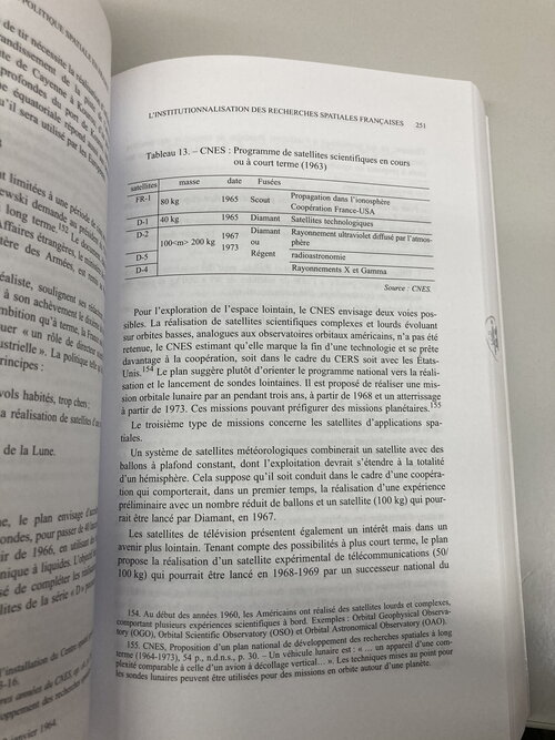
CNES then initiated discussions with the European Preparatory Commission for Space Research (COPERS)
as well as with the Ministry of Cooperation. The first contacts being not very encouraging, this project was abandoned
Two other possibilities are then sought, a site in Metropolitan France and an equatorial site other than the Ivory Coast.
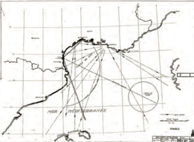
studies for a launch area in Leucate near Perpignan and La Nouvelle pond near Narbonne, but it was not adopted.
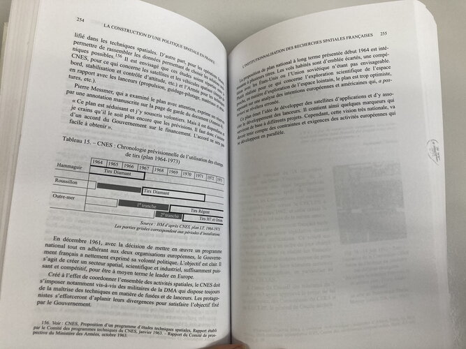
but Roussillon was consider as launch site later
Then French look into 14 equatorial site for Launch side in 1963s
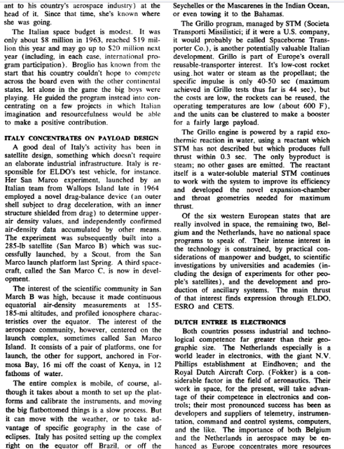
The Seychelles archipelago (Latitude 4°37' Sud ; longitude: 55°27' East) :
rejected - unable to build 3000 meter runway
Trinity Island - Trinidad - (Latitude 10° 05' à 10° 50' Nord ; longitude: 60°55' à 61°55' East)
rejected - no launch corridor north, unstable political situation in Trinidad during 1960s
The island of Nuku-Hiva Hiva - Marquesas archipelago, French Polynesia - (8° 55' South; 142°23' West)
Favorable site, but not selected due to the impossibility of building a runway of 3000 m.
The Touamotu Archipelago - Island of Rairoa, French Polynesia - (Latitude15°00 South and 18° 26' South; 147'38 West)
Suitable site but not chosen because of the distance from Europe ( 20,000 km),
there cyclones and the total absence of fresh water on the atolls
The island of La Désirade - French West Indies - (Latitude16° 20 'North; longitude: 61°02' West)
Suitable site but not chosen because of the Hurricans, the insufficient size of the island, the absence of airfield and port.
The island of Marie-Galante - French West Indies - (latitude: 15° 33' North; longitude: 61°13' West)
Site rejected because it is impossible to launch towards the North (Guadeloupe at 40 km),
also of the Hurricans and the absence of a port and airport.
Cayenne - French Guiana - (Latitude 4°50' North; Longitude 53° West):
Very favorable site. The only significant drawback is the low capacity of the port of Cayenne,
which can however be easily compensated for by installing an unloading device at the Iles du Salut,
located about 15 km away or by improving the port facilities.
Ambient humidity will require very serious precautions for the conservation of the material but is not considered a major drawback.
Djibouti - French Somali Coast - (latitude: 11° 35' North; longitude: 43°08' East):
Very valid site but not retained because of security problems, do great political instability in area.
Mogadisque - Republic of Somalia - (latitude: 02°02' North; longitude: 45°21' East):
Excellent location in relation to the equator but not taken because it presents great political instability.
Port-Etienne - Islamic Republic of Mauritania - (latitude: 20°55' North; longitude: 17°03' West):
Very attractive site but not retained because it presents a great political instability.
Darwin - Australia - (latitude: 12°28' south; longitude: 130°51' East)
Attractive sites but not selected due, The great distance from Europe, lack of any Infrastructur and the existence of cyclones.
Trincomale - Ceylon -(latitude -: 8° 35' North; longitude: 81°15' East

Suitable site but not selected due to the distance from Europe, the existence of cyclones,
the large population and the uncertain political regime.
Fort Dauphin - Malagasy Republic - (latitude: 25° 02' South; longitude: 47°00' East):
Very suitable site but too far from the equator and requiring the construction of a deep water port and the improvement of the airfield.
Belem - Brazil - (latitude: 1°27' South; longitude: 48°30' East):
Very suitable site but not selected due to bad weather, rather delicate close security,
linguistic difficulties created by the use of Portuguese, and the risk of political instability.
(note in 1964 happen military putsch in Brazil)
You notice that list not mention
Kourou but
Cayenne in French Guiana.
After looking in all options French Guiana was consider ideal for France launch site
near equator, part of France and easy access (no crossing Panama or suez Cannel) and infrastructure in place.
General Aubinière, Director General of CNES, carried out a reconnaissance by fly along the coast, by helicopter,
from Cayenne to Saint-Laurent-du-Maroni.
February 6, 1964, Pierre Chiquet submitted a report in which he compared the merits of Roussillon and french Guyana
for the establishment of a French space base.
The location of the Roussillon launch area (43° north latitude) extends over a coastal strip 500 m to one km wide and 10 km long, oriented north-south between Leucate and Le Barcarès.
The report destroy option of Roussillon do limitations and issue with launch corridor into inhabitant Mediterranean area.
and there was issue of budget, simply France can't afford TWO launch site, French Guiana was simpel solution.
The CNES selected Kourou as Launch site after Chiquet report.
Source:

